Loading... Please wait...

Store Navigation
- Home
- Archival prints
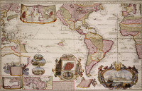
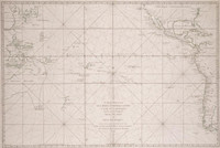
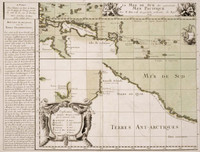
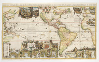
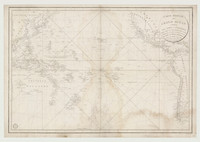
- Carte réduite des mers comprises entre l'Asie et l'Amérique apelées par les navigateurs Mer du Sud ou mer Pacifique ... , 1742


Product Description
Area: from Japan to Cape Horn, from Borneo to Porto Rico.
Map shows coasts with names, islands, rivers, New Holland connected with New Guinea, Tasmania and Land of the Holy Spirit.
''Scale of French and English nautical miles at 120 to a 1 degree"