 Loading... Please wait...
Store Navigation
- Home
- Archival prints
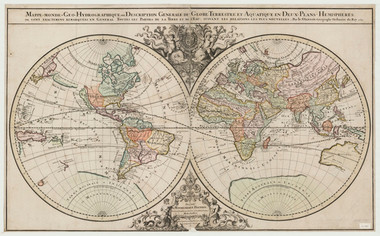
- Mappe-monde geo-hydrographique, 1691
Product Description
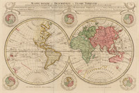
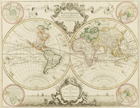
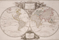
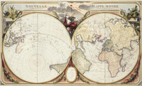
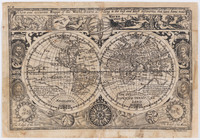
Double hemispherical map of the world.
Unlike the earlier Dutch maps, Sanson's map focuses on the geographic and hydrographic information, the space around the double hemispheres left intentionally blank.
The outline of the continents and the illustrations of interior information is very accurate for the day. The map includes features typical of 17th century cartography such as the outline of a great southern continent, as well as several reflections of early knowledge of Australia, based on limited data from early explorations in the southern seas. Relief is shown in hachures.

