 Loading... Please wait...
Store Navigation
- Home
- Archival prints
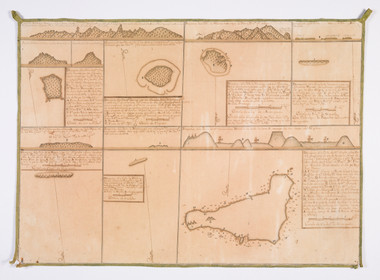
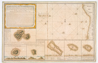
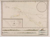
- Chart #4 from the Somaglia collection of manuscript sea charts of the Pacific and South America, 1759-1775
Product Description
"The collection consists of 24 manuscript sea charts assembled by Commodore Somaglia (Joseph de la Somaglia, approximately 1720-approximately 1792, né Guiseppe della Somaglia, also known as José de la Somaglia), for his personal use during his service as Commander of the South Pacific Squadron of the Spanish Armada Real and, most notably, the Spanish expedition to Easter Island led by Felipe González (1770) and the two expeditions to Tahiti and various Polynesian islands led by Domingo Boenechea (1772-3 and 1774-5)"--Adapted from description supplied by Vendor Barry Lawrence Ruderman Antique Maps.
Charts are arranged in four sections: [Charts 1-10] Charts of the Pacific expeditions of Felipe González (1770) and Domingo Boenechea (1772-3 and 1774-5) ; [Charts 11-14] General sea charts of the coastlines of South America ; [Charts 15-20] Harbour and fortification plans of Spanish America ; [Charts 21-24] Charts of metropolitan Spain.

