 Loading... Please wait...
Store Navigation
- Home
- Archival prints
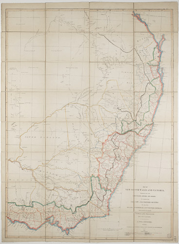
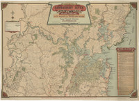
- Map of NSW and Victoria, "shewing the course of the mountains, rivers and roads, the boundaries of the old, new, and proposed counties", 1850.
Product Description
Map of New South Wales and Victoria, shewing the course of the mountains, rivers and roads, the boundaries of the old, new, and proposed counties. The limits of the settled, intermediate and unsettled districts, and the situation of the principal towns and villages from a map by Arrowsmith, with corrections and additions, by J. Jones, Geographer. Sydney: published by the proprietor, 2 Bridge Street, and sold by all the booksellers. 1850.

