Loading... Please wait...

Store Navigation
- Home
- Archival prints
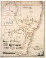
- Chart of Port Jackson New South Wales 1788


Product Description
On graphic scale, one Admiralty mile = 3,8 cm. The original copied by Midshipman Raper is Bradley's "Chart of Port Jackson, survey'd in 1788 by J. Hunter Captain of His Majesties Ship Sirius".
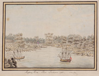
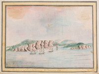
Shows the harbour from North Head and Parramatta River to Rose Hill. "High Water on Full & change [of the Moon] at 8h 15m & rises 6 1/2 feet. N.B. Along the coast off this Harbour the Flood sets to the Southward. & Ebb sets to the Northward. "
Gives the coordinates of the harbour entrance, the magnetic variation of the compass, and soundings in fathoms. Many coves named, and fresh water indicated.